Crater Lake
Crater Lake
Couldn't load pickup availability
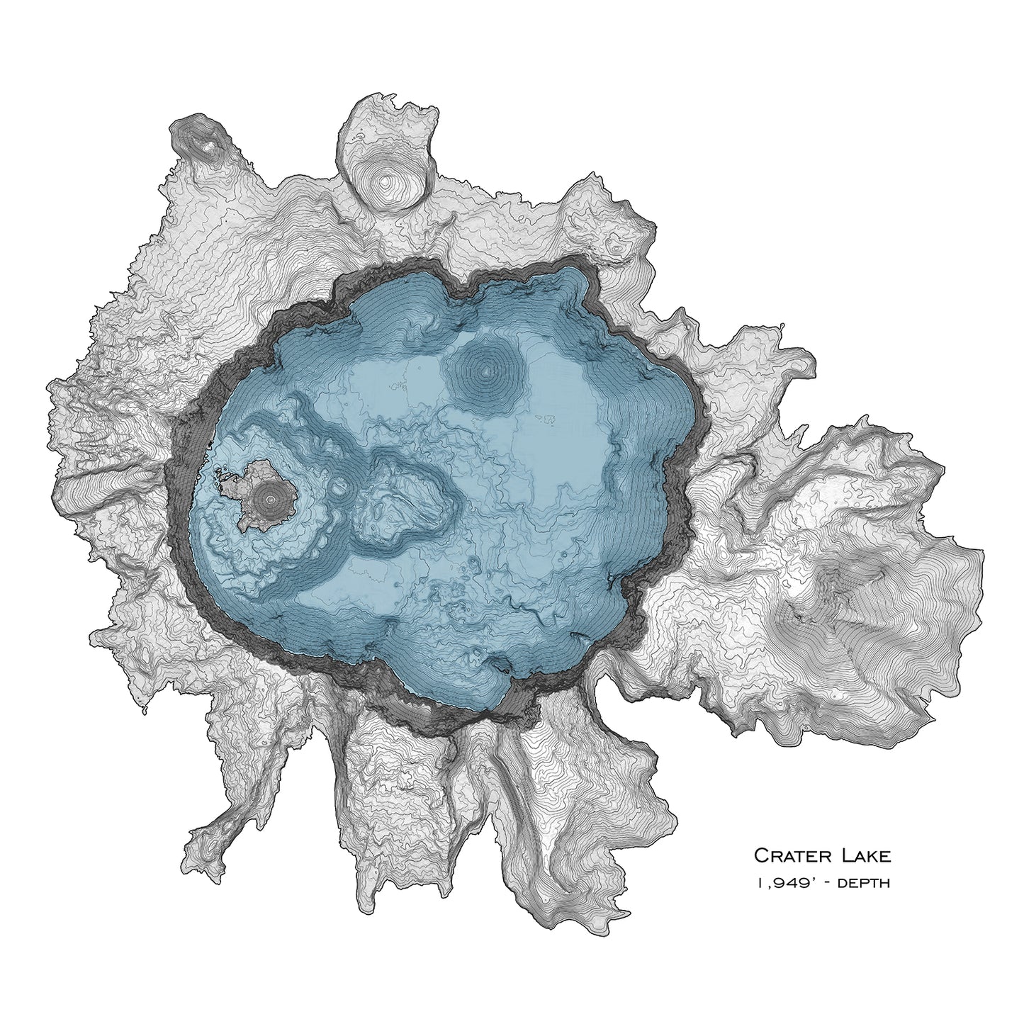
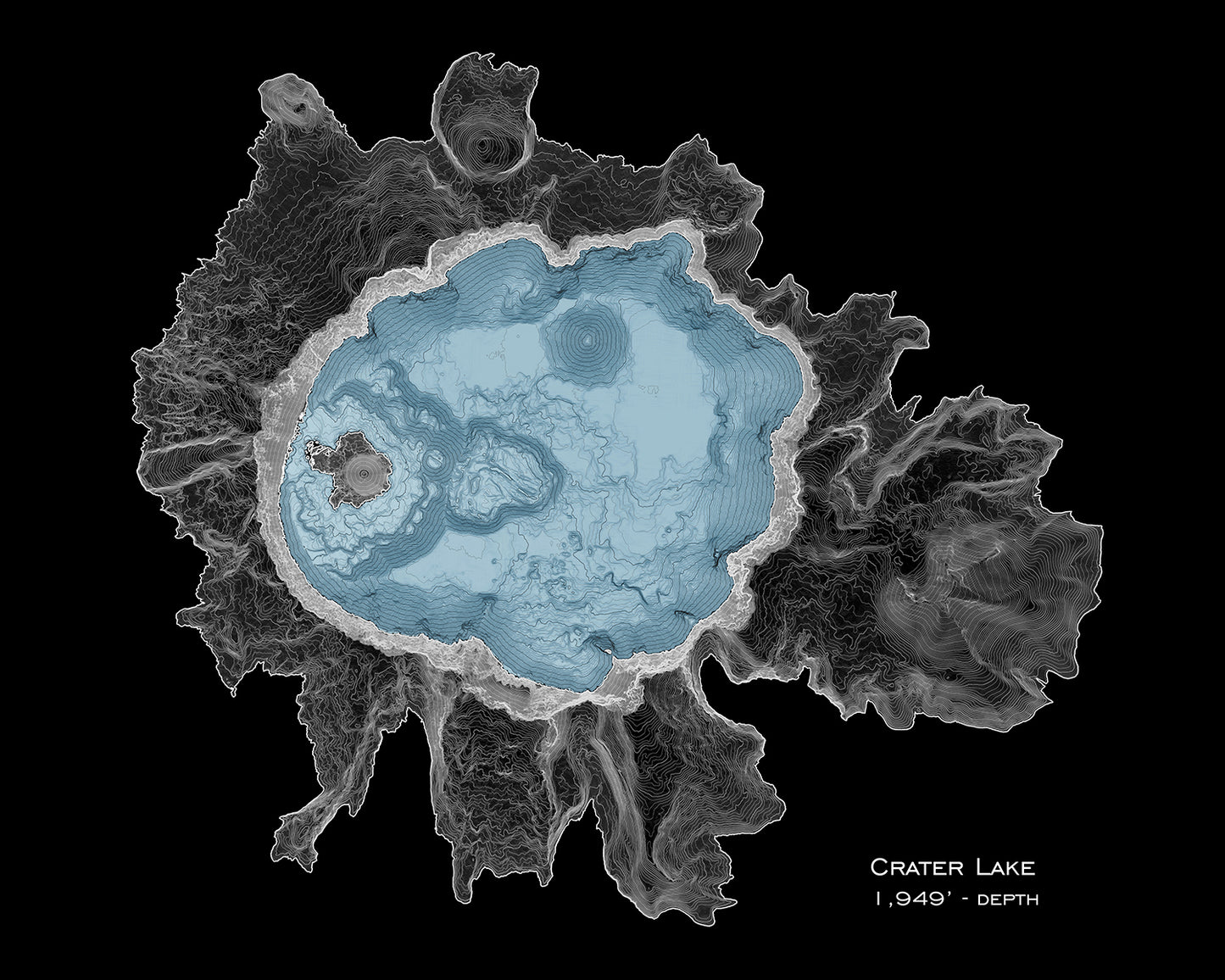
Crater lake, the deepest lake the the US, was created approx. 7,700 years ago. It formed when Mount Mazama collapsed into it's empty caldera. The collapse was immense, with nearly a vertical mile of elevation lost. The summit Mt. Mazama was ~12,000' while the high point on crater lake is 8,934', and the lakebed is far below the surface of nearby Diamond Lake.
Our maps have exquisite detail, whether viewed from across the room or within inches of the map.
____________________________
Map prints are museum-quality. We use Canon's top of the line fine art printers. Paper is rich and durable matte paper (300g/m2) that is archival grade, acid and OBA free. This paper is 100% cotton made from environmentally friendly, recovered fibers.
____________________________
Make any map uniquely yours by adding a custom track. Send a GPS file or give a description and we'll add it to your map. See the Custom Track Addition listing
____________________________
Different map sizes, and gallery wrap canvas maps are available on request, please contact for a quote if interested! All our maps are also available as greeting cards, and live-edge wood coasters. See the 'Stickers-Coasters-Cards' section of our shop.
Materials
Materials
Our maps have exquisite detail, discernible from across the room to within inches of the map.
- Map prints are museum-quality and archival giclees.
- We use Canon's top-of-the-line fine art printers.
- Paper is rich and durable matte paper (300g/m2) that is acid-free and OBA-free. This paper is 100% cotton from environmentally friendly, recovered fibers.
Custom sizes available. Contact for a quote.
Maps are also available as gallery wrapped canvases and metal prints. See options and pricing here.
Customization
Customization
Make any map uniquely yours by adding a custom track! Send a GPS file or give a description and we'll add it to your map. See the Custom Track Addition for more info.
Shipping & Returns
Shipping & Returns
US shipping rates: Prints----------------------------------$4
Framed: 11x14" & smaller----------$9
Framed: 16x20" & larger----------$18
Returns 7 Exchanges accepted.
- Contact within 14 days of delivery.
- Return item within 30 days.
- Item must be in resaleable condition, unused, and in its original packaging.
- Refund issued will be less shipping and handling.
Exception
Items with any customization are not eligible for returns/exchanges.
Other Products
Other Products
All our maps are also available as greeting cards, live-edge wood coasters & stickers. See the 'Stickers-Coasters-Cards' section of our shop.


Let customers speak for us
from 123 reviewsMy order got delayed but Ian was quite helpful with the assistance
They are gorgeous, but we expected nothing less since we have a lot of pieces by this artist now. Surrounded in topographic maps at our house!

Love the art, Ian is great to work with. I will be ordering maps of all of my challenging hikes.

The map I received was awesome. USPS lost the first package so Ian sent another and was helpful throughout the process
Ian is the greatest. He was such a pleasure to work with. He helped me create a meaningful piece to cherish a loved one, and I can’t put words into how appreciative I am for his work!
Incredible service. Ian kept in touch with me to make sure it was exactly what I wanted.
I am so excited to have this beautiful piece of art! I will definitely be a repeat customer!
It was exactly what I wanted! I will definitely be a repeat customer!


