Meet the Maker
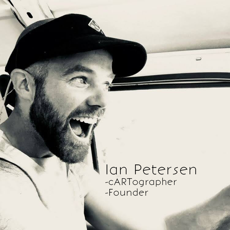
Ever since my first time toddling along on a family backpacking trip, I’ve pored over maps for endless hours. One night of inspiration, I was laying in bed inspired by the film Meru, and dreaming of new journeys and reflecting on old ones. In the wee hours of that morning, a stroke of creativity led to the first draft, a map that was both about the mountains I love and a journey I had taken through them. That first map became a gift to appreciate my friends for the adventure in the Three Sisters we had shared. Their enthusiasm for the maps inspired me to create more maps of the local Cascades and beyond. Map Your Adventure was born.

Quality Cartography
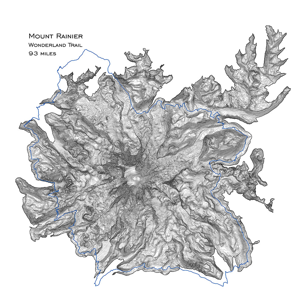
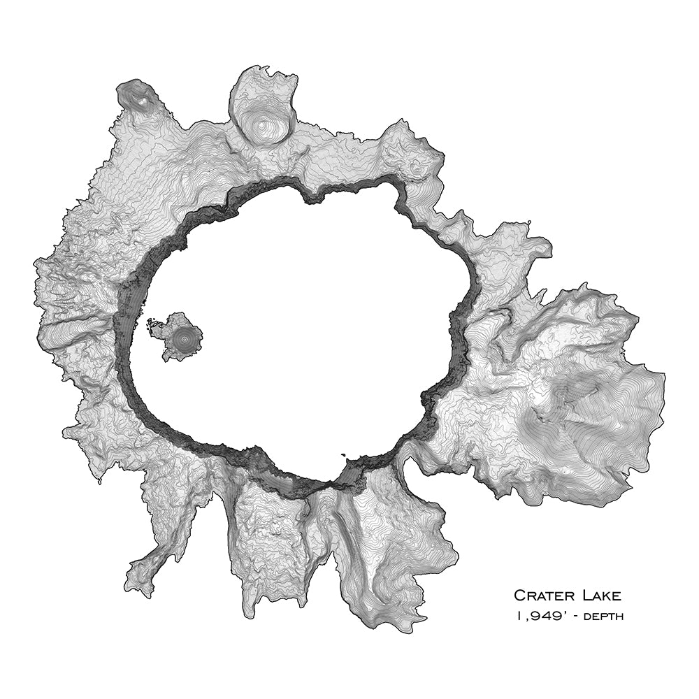
Each map is created using the highest resolution data available. They are hyper-precise. These are printed on high quality matte paper (192g/cm2)
As a former scientist who used topography data for research, I take pride in the obsessive precision used to make these maps.

Map What Matters
I focus each map on a feature, defining it with natural boundaries, such as elevation, ridge-lines and stream-beds, and leaving off the rest. Then I determine shading & topographic interval to bring the map to life.
